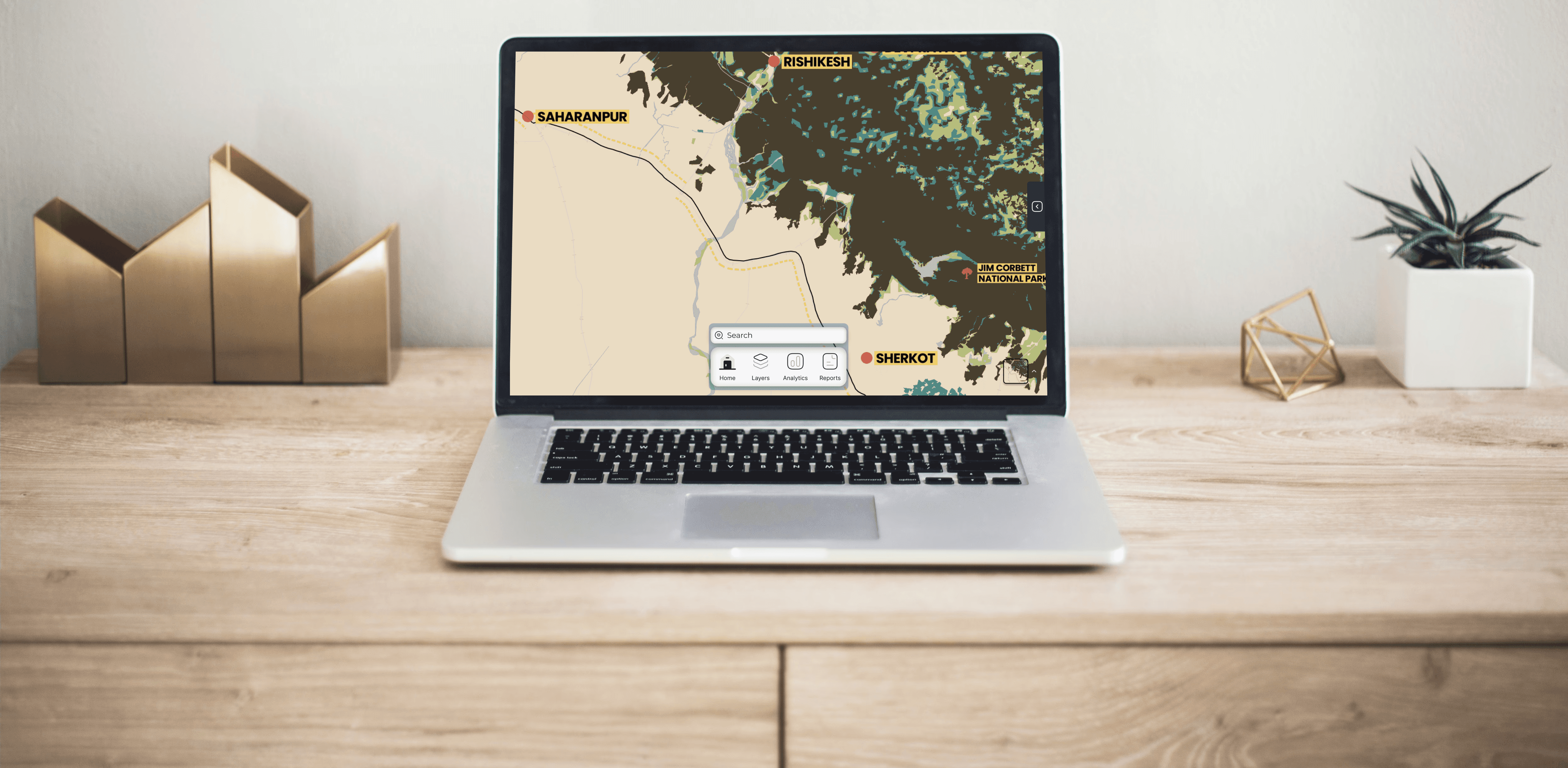
ErosionVision
Overview
integrated river and coastal monitoring platform that combines interactive mapping, real-time data, and predictive analytics to support sustainable planning and risk management.
Key capabilities include:
Multi-Scale Mapping: Switch between base maps (satellite, topographic, terrain) for both riverine and coastal environments.
Erosion & Accretion Analysis: Visualize historical and current shoreline and riverbank positions, with severity maps for erosion and deposition zones.
Hazard & Risk Layers: Access overlays for flood-prone areas, sea-level rise projections, erosion risk indices, and storm or cyclone tracks.
Human & Infrastructure Impacts: Map settlements, population density, and critical infrastructure at risk, alongside protected ecosystems.
Analytical Tools: Measure shoreline change rates, view real-time sensor feeds, explore predictive models for future scenarios, and analyze drone survey imagery.
User Contributions: Upload custom datasets, add field observation notes, and crowdsource local knowledge.
Data Insights Panel: Generate charts, stats, photos, and downloadable reports for decision-making.
With its intuitive design, smooth interactions, and customizable layers, the app empowers researchers, policymakers, and communities to better understand and respond to the challenges of riverbank and coastal erosion.
Categories
Geospatial
River and coastal erosion
Date
Client
UNKOWN
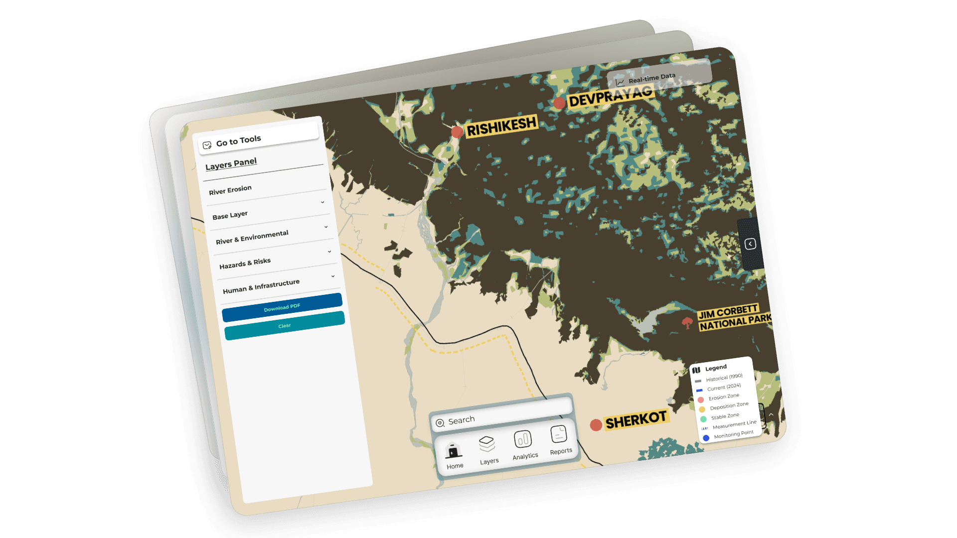
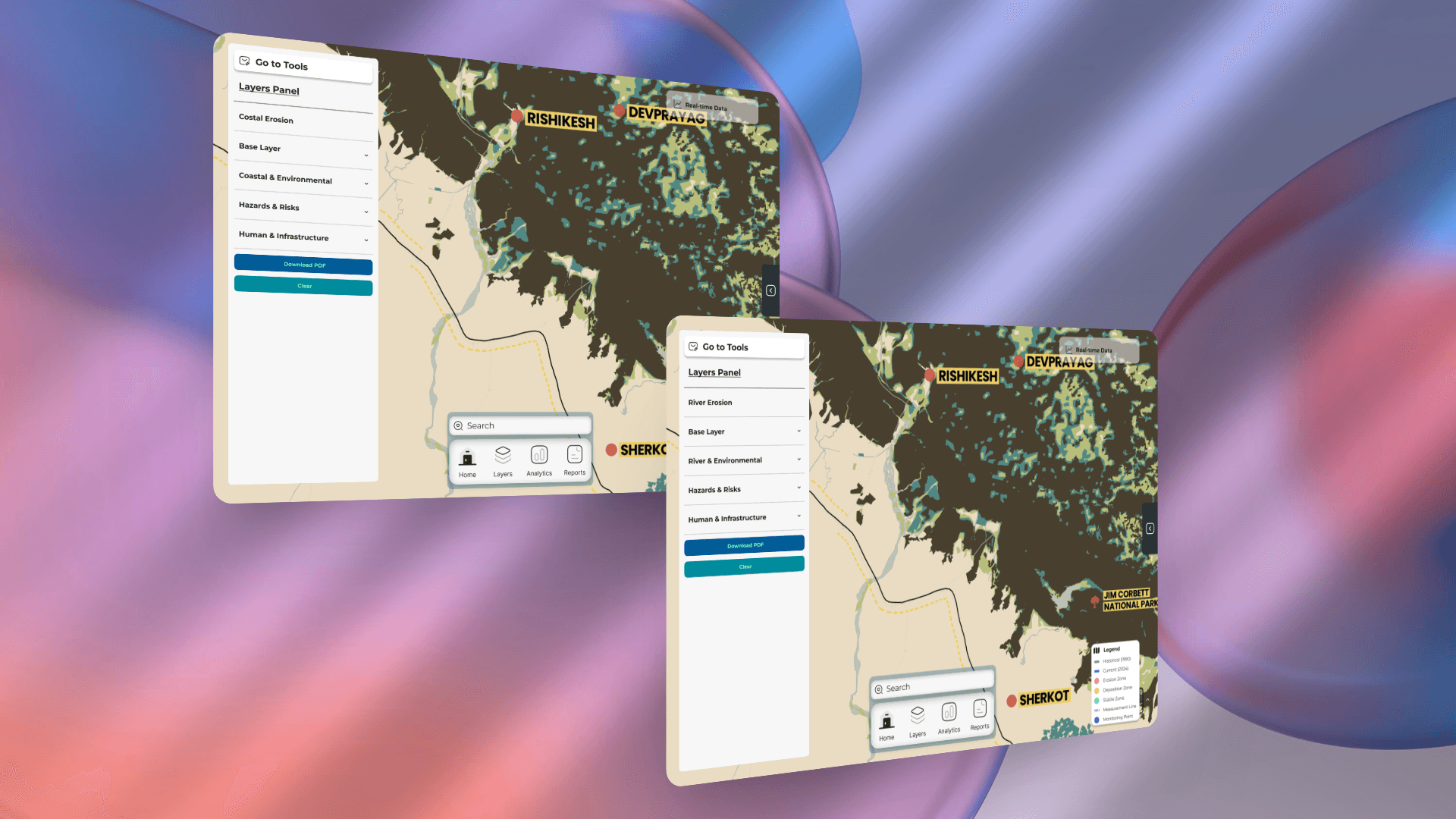
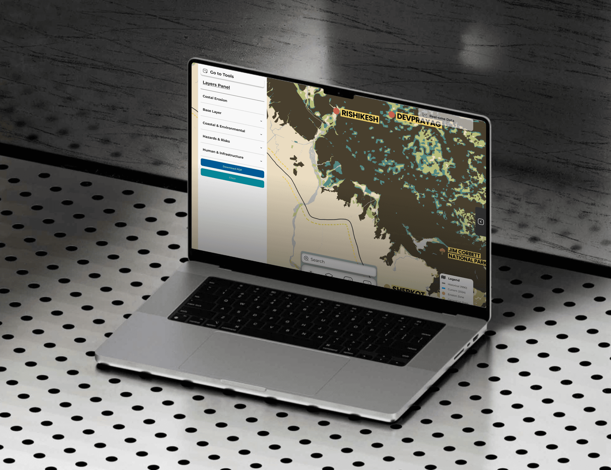
ErosionVision
Overview
integrated river and coastal monitoring platform that combines interactive mapping, real-time data, and predictive analytics to support sustainable planning and risk management.
Key capabilities include:
Multi-Scale Mapping: Switch between base maps (satellite, topographic, terrain) for both riverine and coastal environments.
Erosion & Accretion Analysis: Visualize historical and current shoreline and riverbank positions, with severity maps for erosion and deposition zones.
Hazard & Risk Layers: Access overlays for flood-prone areas, sea-level rise projections, erosion risk indices, and storm or cyclone tracks.
Human & Infrastructure Impacts: Map settlements, population density, and critical infrastructure at risk, alongside protected ecosystems.
Analytical Tools: Measure shoreline change rates, view real-time sensor feeds, explore predictive models for future scenarios, and analyze drone survey imagery.
User Contributions: Upload custom datasets, add field observation notes, and crowdsource local knowledge.
Data Insights Panel: Generate charts, stats, photos, and downloadable reports for decision-making.
With its intuitive design, smooth interactions, and customizable layers, the app empowers researchers, policymakers, and communities to better understand and respond to the challenges of riverbank and coastal erosion.
Categories
Geospatial
River and coastal erosion
Date
Client
UNKOWN